The Braddock Expedition in the summer of 1755 was one of the greatest military campaigns (and follies) in 18th-century North America up to that point in history. After diplomatic attempts to oust the French from Fort Duquesne by a young British officer named George Washington were rebuffed a year prior, British General Edward Braddock sought to move an army of some 2,000 through the wilderness and lay siege to the fort. The Battle of the Monongahela on July 9th ended the expedition and Braddock’s life.
Three years later, Washington and 6,000 soldiers returned to the region as part of an army led by General John Forbes. Once again, Fort Duquesne was the target as the Forbes Campaign which set out from Carlisle, PA in September 1758 and cut a new road to the west, just north of Braddock’s doomed route. Along the way, the expedition constructed a string of forts across the wilderness as safe havens for the British. As 1758 drew near to a close, Forbes would succeed where Braddock had failed in removing the French from the Forks of the Ohio forever.

The failures and successes of these men and their soldiers defined the story of the French and Indian War and the decades after in this corner of the 18th-century British Empire. In the aftermath, Pontiac’s Rebellion would rage through the same region, eventually leading to the decimation and removal of the native people who occupied the land well before the French or British came. In these two wars, the British emerged as the dominant power in the region. Unbeknownst to the Crown and Parliament safely at a distance in London, the seeds had also been sown for the eventual colonial rebellion against British rule less than two decades later.

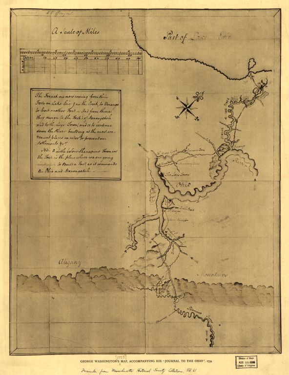
In late September 2018 I set out to retrace these campaigns and stories by train, car and on foot. Over the course of a week, I made my way from my home in Brooklyn, NY to Alexandria, VA and then zig-zagged my way to Pittsburgh, PA and back again. Along the way I sought to get a sense of these historic, out-of-the-way places where armies once moved and pivotal battles were fought over 250 years ago. I also captured a number of videos and photos of the sites, allowing others to visit these places from a digital distance. For me, breathing the air, hiking the trails and camping amid the trees and mountains of what was then known as the Ohio Country was my opportunity to engage with history first-hand.
George Washington in the Ohio Country
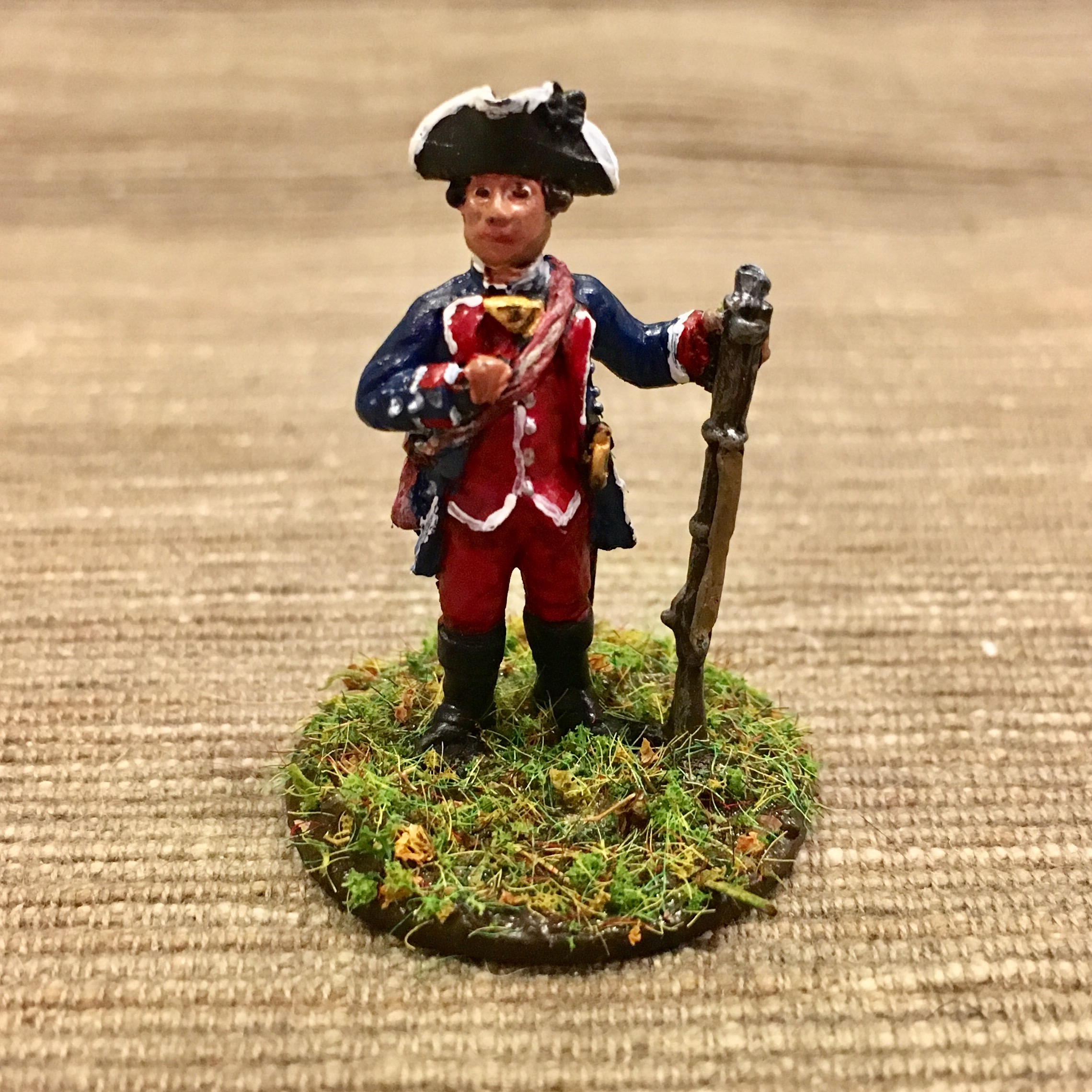
Much of the story of the Ohio Country in the mid-18th-century is also the story of one person: George Washington. As an ambitious, twenty-something Virginia Provincial officer, he was eager to prove his worth and earn a place as a full British officer in service of the Crown and Empire.
To that end, in 1753 Washington was appointed as an envoy tasked with delivering a message to the French at Fort Duquesne. The order unceremoniously commanded the French to vacate the region, one the British felt they rightly claimed. The arduous winter journey through mountains, rivers and thick forests had challenged Washington’s physical fortitude. The French commander’s refusal of Washington’s carried message challenged his spirits and ambitions of taking a place among elite society. On his first assignment as a designated representative of the British colonial government, Washington had failed.
Jumonville Glen
The following spring, Washington returned to the region for a second try at forcing the French from their further-developed positions. This time, Washington was at the head of his first command of some 300 Virginians. Camping in a meadow some distance from Fort Duquesne, Washington was tipped off by an Mingo ally, Tanacharison (“Half King”), to the presence of a French advance guard camped in a nearby wood.
Early in the morning on May 28, 1754, Washington approached the French camp with some 40 colonials and a dozen allied Mingo warriors. Surprising the French (actually French Canadians led by Joseph Coulon de Villiers de Jumonville) in their morning camp, a quick firefight erupted. In the subsequent surrender negotiation between Jumonville and Washington, Tanacharison killed the French officer. By all accounts, Washington had blundered into a brief firefight and further lost control of the situation after the smoke had cleared. The encounter at what became known as Jumonville Glen had the potential to be yet another bad mark on the young officer’s record.

When I visited Jumonville Glen in September 2018, I had not been to the site in over two decades. On the morning I was there, I had the site to myself and its still, secluded quiet in a cool morning rain is eerie. Standing at the rocky prospect above at the British position and then at the base of the glen where the French camped, you get a true sense of the intimacy of the place where a major event occurred.
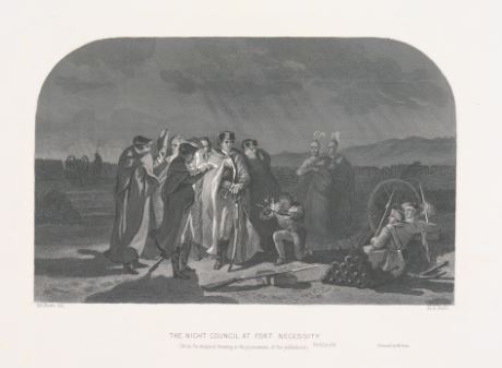
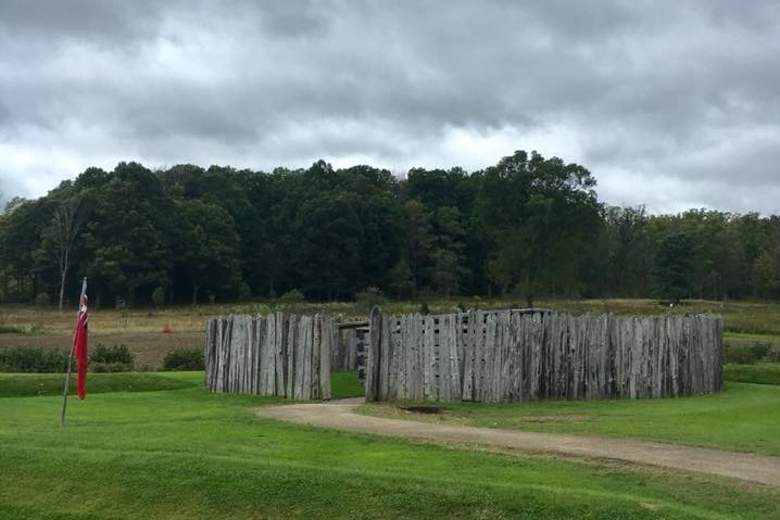
Fort Necessity
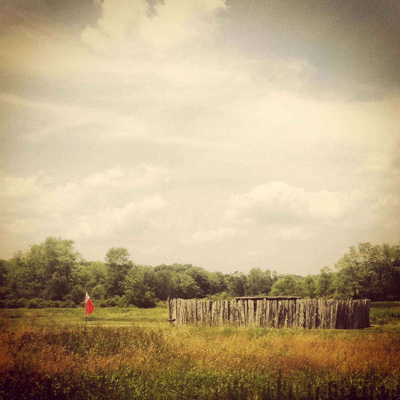
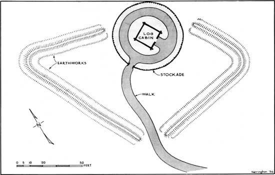
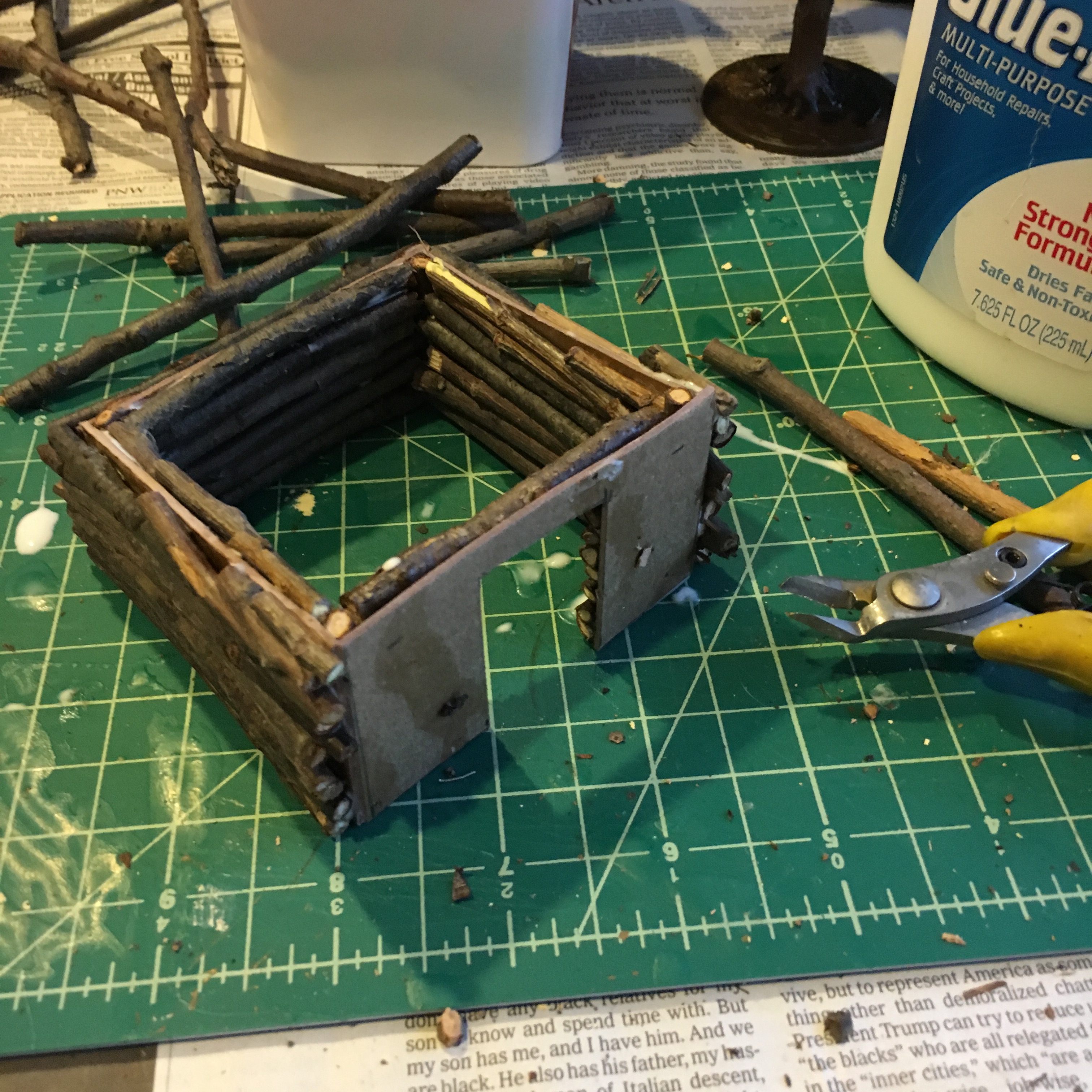
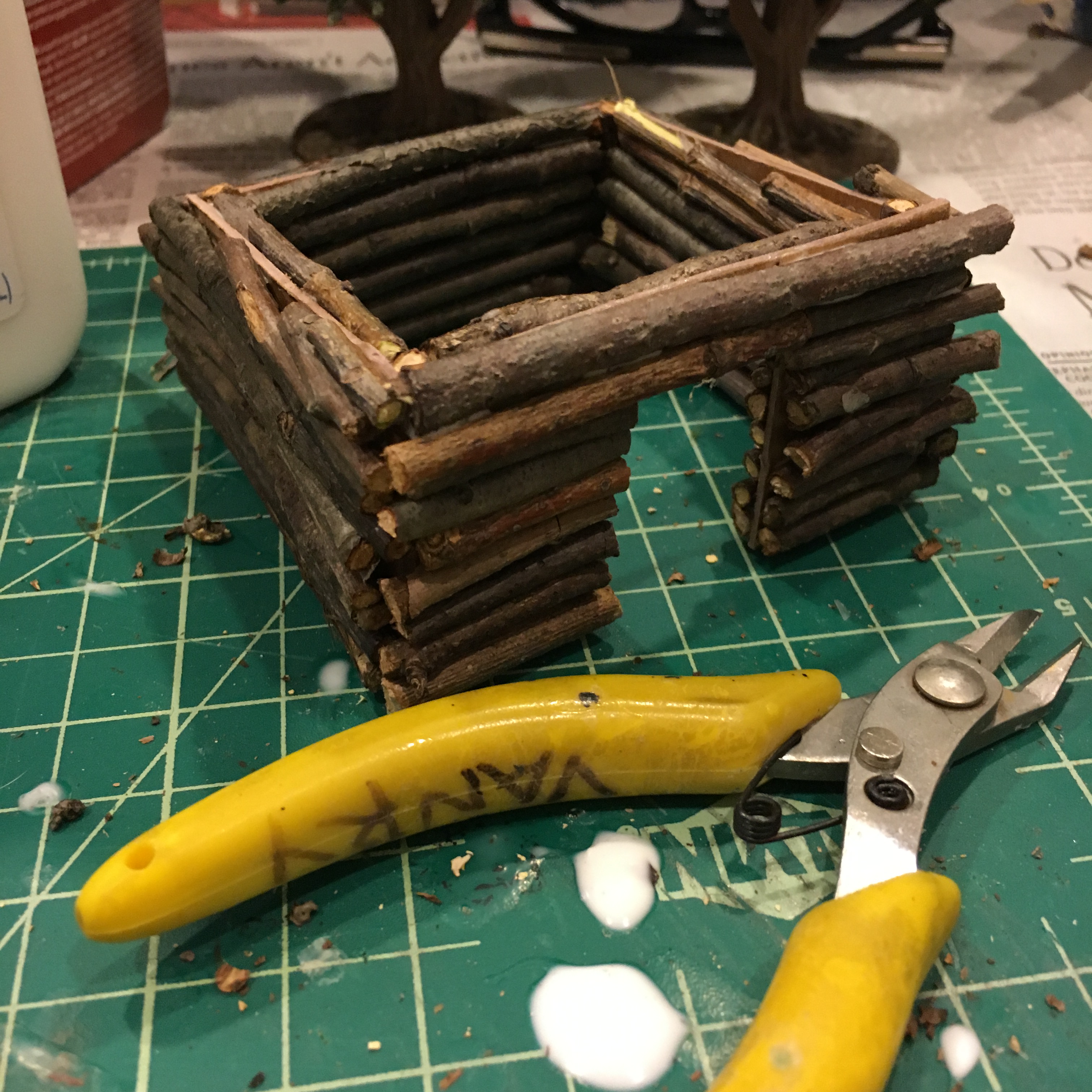
The event at Jumonville Glen didn’t immediately reveal its long term significance, but Washington sensed a French reprisal would be imminent. With that, he returned to the meadows and had a small “fort of necessity” constructed. Some 50′ in diameter, the split-log stockade was surrounded by earth ditches dug into the damp ground near an adjacent trace of a stream.
On July 3, 1754, around 600 French Regulars and Canadians accompanied by perhaps 100 or more Indian allies appeared at the treeline surrounding Washington’s hasty defense. With may only 400 men, many of whom were sick, drunk or otherwise unfit to fight, Washington was vastly outnumbered as Indian and French musket volleys rang out from the trees throughout the day. When rain fell in the afternoon, Washington’s shattered force eventually surrendered. In the negotiation of terms relying on questionable translations, Washington signed his name to a document in which he inadvertently admitted responsibility for the assassination of Jumonville.
As Washington retreated his force from the field, he had delivered a third failure on his third assignment as a want-to-be British officer. With these personal failures, the 22-year-old Virginian had also set in motion events which would erupt in the French and Indian War.
The Braddock Campaign

Following on the failures of Washington in 1753 and 1754, an escalated show of British force was determined to be the solution to finally oust the French from the region. The person tapped for the job was British General Edward Braddock, a veteran in the ways of European warfare and campaigns. The disconnect between Braddock’s military experience and the fighting in the forests of the Ohio Country would prove to be disastrous.
The Carlyle House
In the spring of 1755, Braddock had arrived in Alexandria, VA with 1,200 troops and set up his headquarters at the Carlyle House. There on April 15th, he convened a “congress” of colonial governors from Pennsylvania, New York, Virginia, Maryland and Massachusetts to seek shared funding of the campaign against the French ensconced in the Ohio Country. The governors pushed back on funding Braddock’s expedition but did agree a multi-front campaign against France was the key to their removal from the contintent.
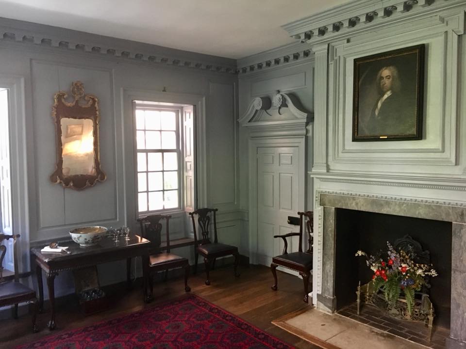
A visit to the Carlyle House today in downtown Alexandria is largely a tour of a grand 18th-century home, not unlike many historic house museums. For someone like me, imagining the heated conversation and planning for what was to become the Braddock campaign and the French and Indian War at large makes it an important part of the era’s story.
Braddock’s Road
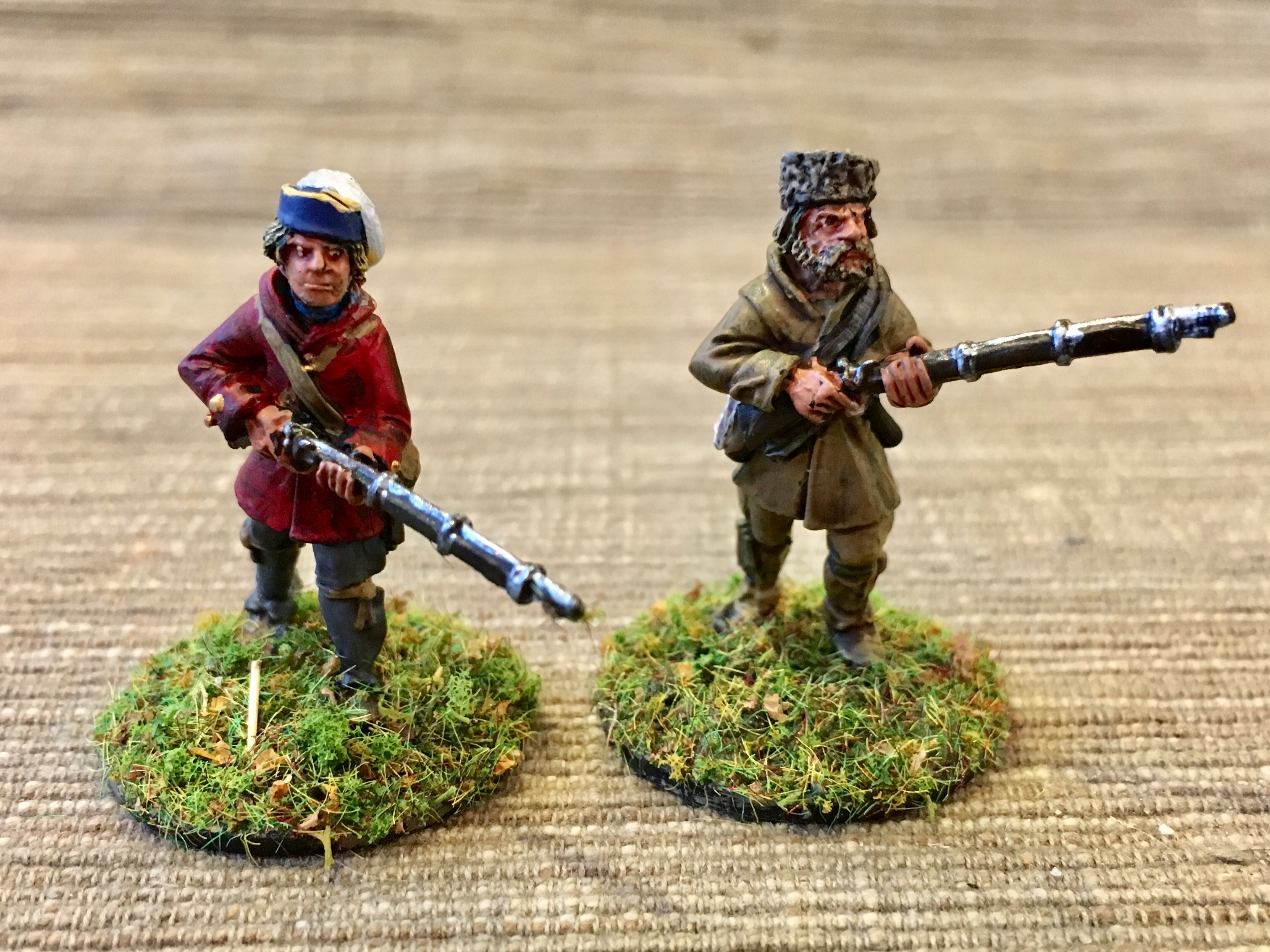
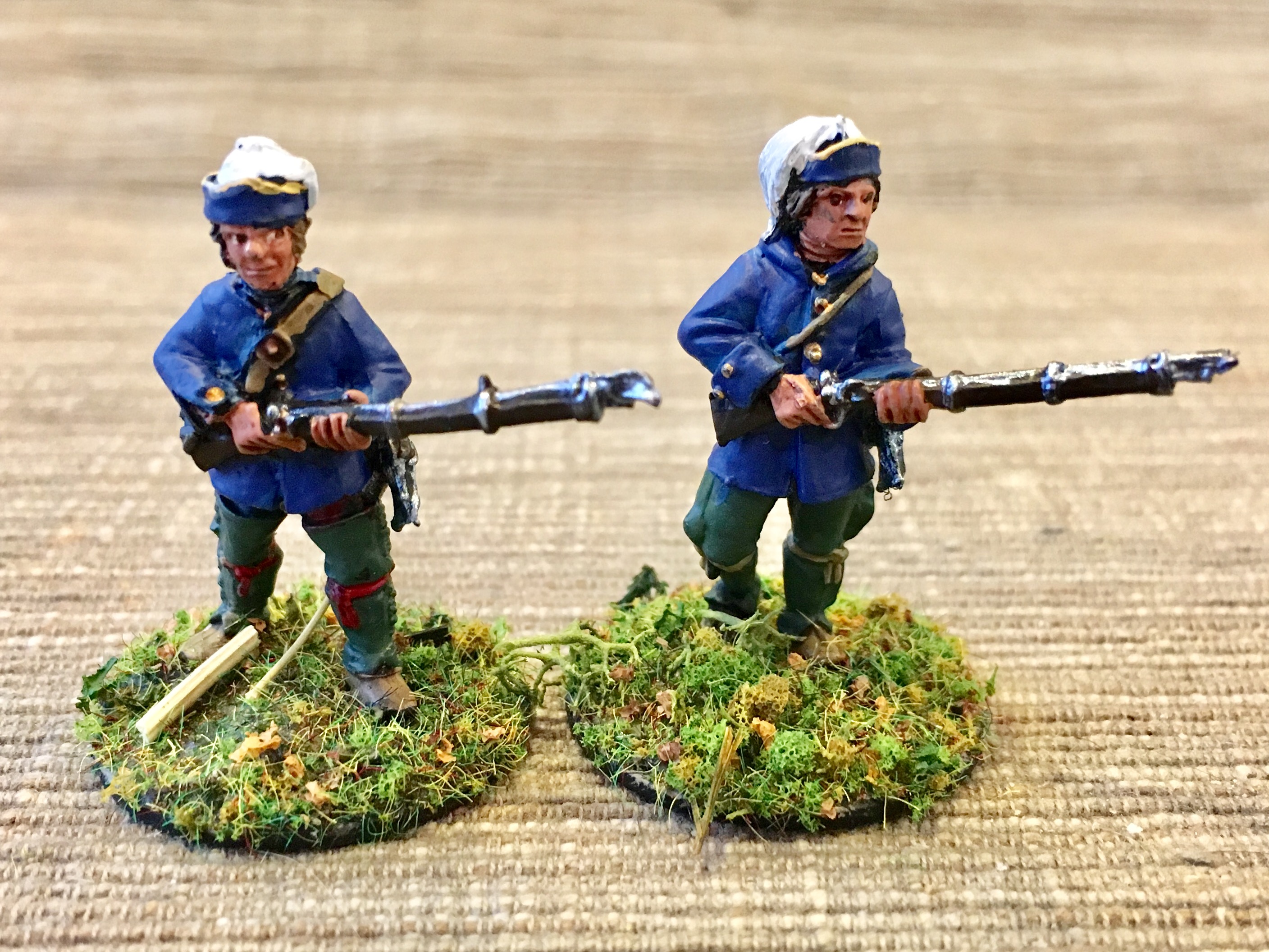
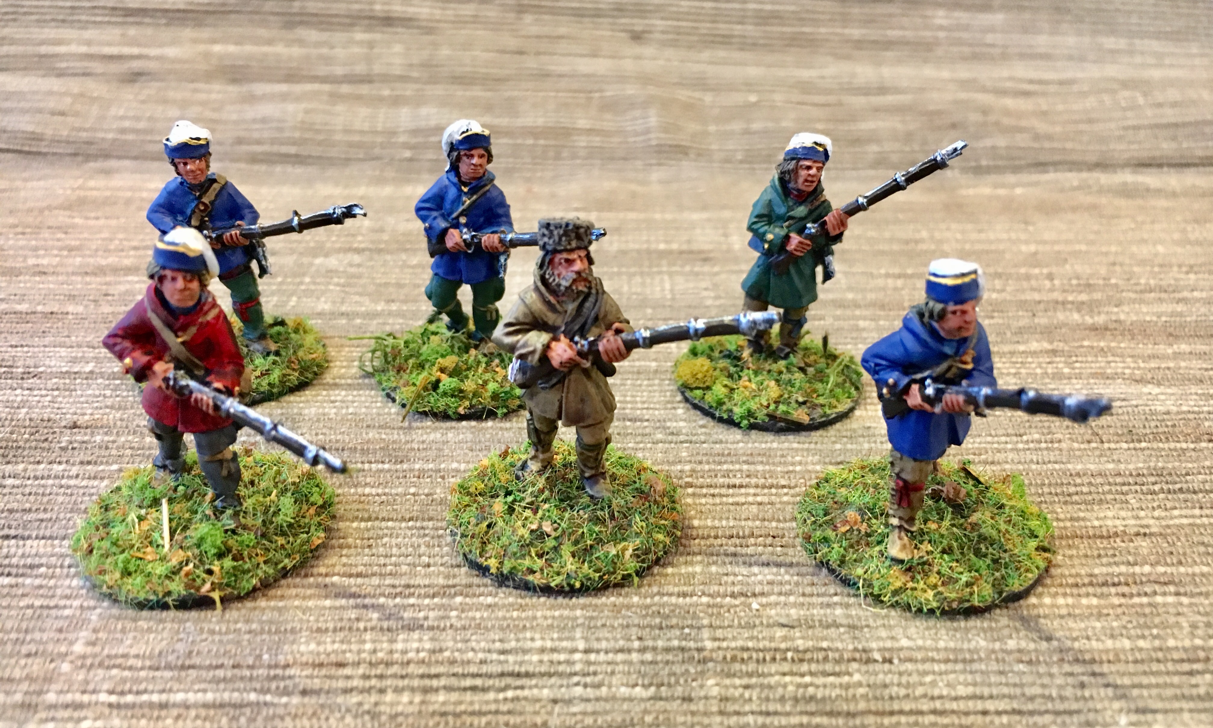
By late May 1755, Braddock and his force now numbering over 2,000 set off from Fort Cumberland, MD with the destination of Fort Duquesne over 100 miles to the west and north. Among the troops and working wagon teams recruited by Benjamin Franklin, Braddock’s army contained a who’s who of people who would play a large part in the events over the coming decades. These included the back woodsmen Daniel Boone and Daniel Morgan as well as Thomas Gage; Charles Lee, Horatio Gates and Washington as Braddock’s personal aide.
Braddock’s route was challenging from the beginning. The landscape ahead presented dense forests, rushing streams and steep, rocky hills and mountains. His long column consisted of advance work parties cutting and building a road at the head of the slow-moving army. In some areas rock needed to be blasted and cleared and at other points wagons and cannon were broken down to be hauled over inclines or cross waterways.


The route of the campaign today (much along what would be come the National Road and later US Route 40) is traced with dozens of roadside historical markers. Getting off the road, there are opportunities to hike short remnant portions of the road. The experience of walking some of Braddock’s route shows the closeness and seclusion experienced by a massive European army moving through wilderness for which they were completely unprepared.
The Battle of the Monongehela

After some five weeks of slow advance at a pace of what could be less than five miles a day, Braddock’s column arrived near the banks of the Monongahela River. On July 9, 1755, the head of the British force was attacked by over 200 French and Canadian militia along perhaps 600 or more Indian allies. In the bloody confusion and surrounding crossfire, the British were thrown into disarray as multiple officers fell and troops were engaged at close range attacks. Braddock himself fell to a musket wound, and Washington managed to organize a hasty retreat, saving what he could of British line that had been wrecked with nearly 900 dead and wounded.
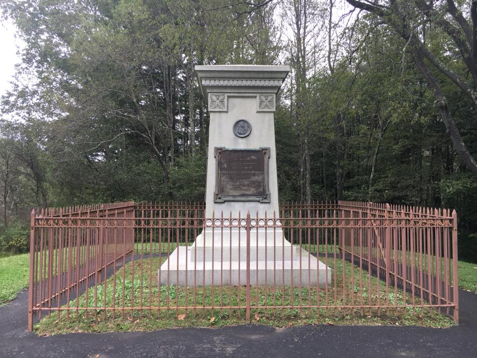
Thus, just ten miles from Fort Duquense, yet another British force was thrown back by the French. Again, Washington had been a participant and this time he buried his commanding officer and mentor near the ruins of Fort Necessity.

The site of the Battle of the Monongahela at present day Braddock, PA is largely lost to history. The Braddock’s Battlefield History Center has done an outstanding job of documenting the event, and I was lucky enough to be the only the visitor on the day of my trip. There I was able to have the museum’s founder, local retired attorney Robert T. Messner, to myself as we discussed the battle and took a tour of the exhibits. A couple weeks after my visit, a merger between the center and Fort Ligonier was announced, guaranteeing further interpretation of the battle for years to come.
The Forbes Campaign and Pontiac’s Rebellion

Leaving the Braddock story at its natural and tragic end, I had the opportunity to also visit a number of other mid-18th-century sites of historical significance in the region. With these I followed other travelers, settlers and campaigns of the era from the French and Indian War to the follow-up conflict of Pontiac’s Rebellion.
Fort Frederick
The entire region is dotted with sites of former stops along major routes of 18th-century travel and trade. In Washington County, MD, I spent the evening at Fort Frederick State Park. After an evening camping in a downpour in an otherwise empty campground along a rising Potomac River, I awoke to an overcast day and a visit to the recreated Fort Frederick. Originally built in 1756-1758, the large stone Vauban-style fortress is today represented as rebuilt by the Civilian Conservation Corps (CCC) in the 1930s. Initially used for defense and a trading hub for local settlers during the period of the French and Indian War and Pontiac’s Rebellion, the fortress was later used as a prison during the American Revolution and then garrisoned again by Union troops during the US Civil War.
Fort Bedford


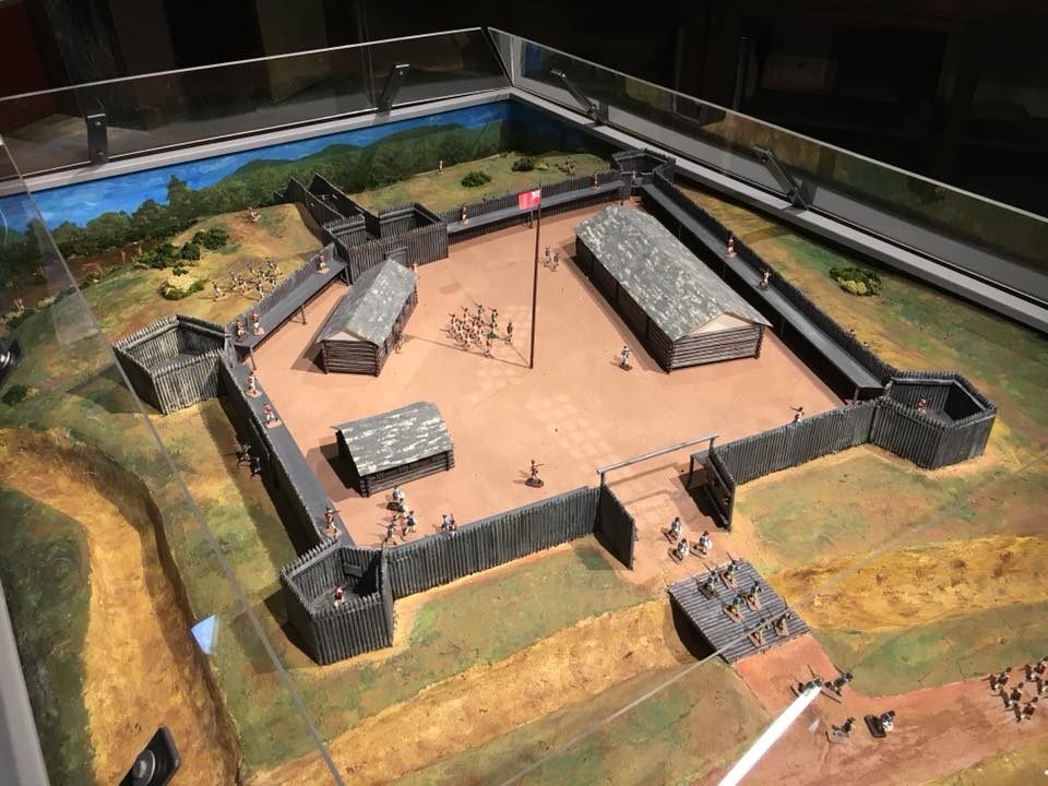

Travelling about 100 miles northwest from Fort Fredrick, is the site of Fort Bedford. Built in 1758 by British troops under Colonel Henry Bouquet, the log star-shaped fort served as one of the string of supply points during the campaign led by General Forbes to take Fort Duquesne. The original fort is long gone but the site today is marked by the Fort Bedford Museum which is home to the fort’s original 1758 flag and a nice scale model of the fort as it once looked.
Fort Ligonier
Following the route of Forbes and his army fifty more miles to the northwest, I arrived at Fort Ligonier. Some fifty miles southeast of present-day Pittsburgh, the fort was the final jumping-off point for eventual siege and taking of Fort Duquesne in late November 1758. During Pontiac’s Rebellion in 1763, the fort continued as an important British outpost and was attacked twice by united Indian forces during that conflict. Today’s fort is a fine reproduction of the 18th-century log fort and the museum houses the absolute best collection of exhibits on the period I’ve visited.
Fort Duquesne

All roads lead to the the Forks of the Ohio at present day Pittsburgh, PA where the Ohio, Allegheny and Monongahela rivers come together. After years of attempts by the British through diplomacy and a failed militia campaign with a young Washington followed by Braddock’s fateful end, the Forbes expedition succeeded in taking the site. Ultimately, British seizure of the point was anticlimactic with the French burning the fort before retreating to the north in late November 1758.
The British set to work redeveloping the site with Fort Pitt between 1759 and 1761 where it served as the anchor of the British Empire’s western edge for the remainder of the war. The fort was besieged by Indians during Pontiac’s Rebellion in 1763 and then used by Virginian’s during the brief Lord Dunmore’s War in 1774 which many know view as a precursor to the Revolutionary war.
Jutting out from the the modern city of Pittsburgh, a visit to the site easily reveals the important strategic location of the point at the intersection of three mighty rivers. While the Indian villages, trading posts and forts which once crowded to the river banks are long gone, the park and Fort Pitt Museum there offer a marvelous experience and transport back in time.
Battle of Bushy Run

Squeezed between the little known French and Indian War and the mythic American War of Independence is the almost completely forgotten Pontiac’s Rebellion. From 1763 to 1766 a confederation of Indian nations from the Great Lakes and Ohio Country united to push back the tide of European settlers encroaching westward following the French and Indian War. By the spring and early summer of 1763 dozens of settlements, forts and outposts fell to Indian forces across the entire region, and once-inconceivable Indian sieges of Fort Detroit and Fort Pitt were underway.
In the hopes of relieving the siege at Fort Pitt, British veteran of the region Henry Bouquet led about 600 men over the route once used by Forbes and his army just a few years prior. On August 5, 1763 Bouquet’s force was about 25 miles from the fort when attacked by hundreds of Indians from the thick woods. After a first bloody and disastrous day of defeat, Bouquet’s men rallied the second day in a surprise flanking attack through the woods. The narrow defeat by the British threw back the native rebellion, effectively ending the brief war and assuring British supremacy in the region.
A visit to Bushy Run Battlefield today is a long, winding, out of the way trip to beautifully preserved grounds over rolling hills and wooded trails. The small museum does an out sized job in defining the battle and overall period in context, and its annual reenactments are some of the most picturesque recreations of the period.
While the empires of the British, French and Indian people of the region clashed over the grounds I visited for decades of the 18th-century and involved tens off thousands of participants, my trip allowed me to quietly consider the region from a singular observer’s point of view. Over a week of travel and contemplation, I sought and found a journey back in time to the 18th-century found no so far off my usual 21st-century trail.