As a lifelong gamer, I’ve spent many, many hours staring at maps or drawing my own. Most board games provide maps of sorts that define movement and area control. For players of Dungeons & Dragons and the like, adventure maps create much of the framework for how campaigns and role-played stories evolve. Miniature wargames, from ancients and historicals to fantasy and sci-fi, utilize three-dimensional set-ups driven by maps and the relationship of various features on the tabletop.
Late last month, the New York Public Library announced the availability of some 20,000 high resolution downloadable maps. The collection is an enormous resource for hardcore historians and hobbyists alike. Well over half the online collection naturally focuses on New York City, New York State and the surrounding areas. Beyond the New York area, the cartography goldmine grants access to hundreds of years of maps from around the world which can be viewed singly or within the context of their original books, atlases or folios.
Digging into the archive, there’s a fair amount of material certain to be of interest for gamers. Maps of Europe, Africa, Asia and the Americas portray the development of civilizations and empires over the centuries. A fair amount of material is available on the American War of Independence, particularly in the areas around New York, New Jersey and Pennsylvania. Aside from maps, there are also some engraved plates of native societies encountered by European colonists, renderings of forts and some naval views.
The entire online collection is searchable here, but here are a few highlights I’ve come across on my digital travels.
New York

New Amsterdam

Brooklyn Navy Yard
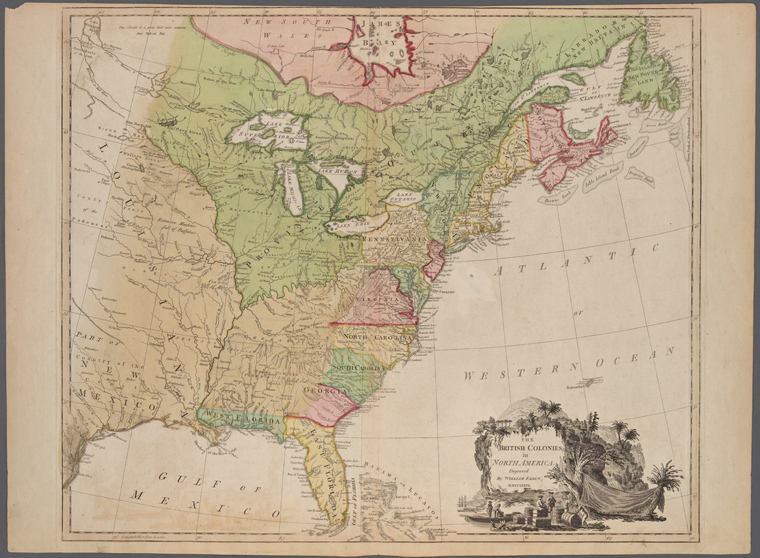
American War of Independence

Battle of Long Island

Saratoga
Forts
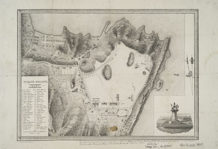
West Point

Fort Albany
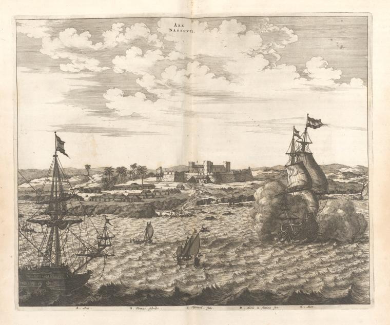
Naval History

Dutch and Portugese Ships
Ships in the British West Indies
Europe

Ancient Greece

Roman Empire
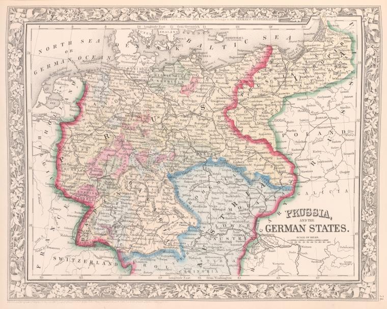
Prussia

These are awesome. Great find.